Hiking to the Lost Castle (Skrapar Castle)
A guided 7.6 km hike from Guest House Marsi in Munushtir up to the old walls of Skrapar Castle, then down to the Varisht river beach on the Osum.
Quick facts
Highlights
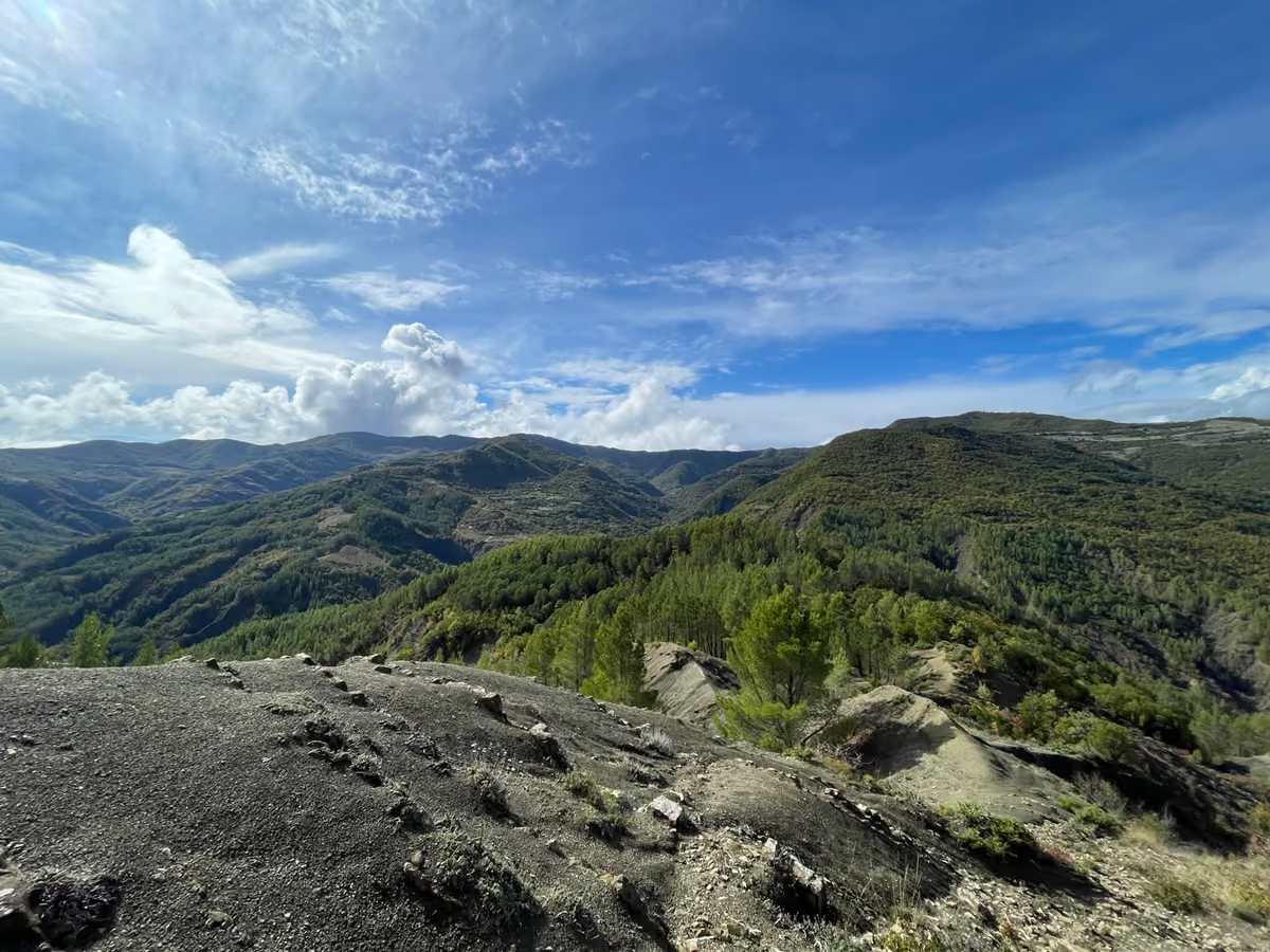
- Nature, hills and mountains
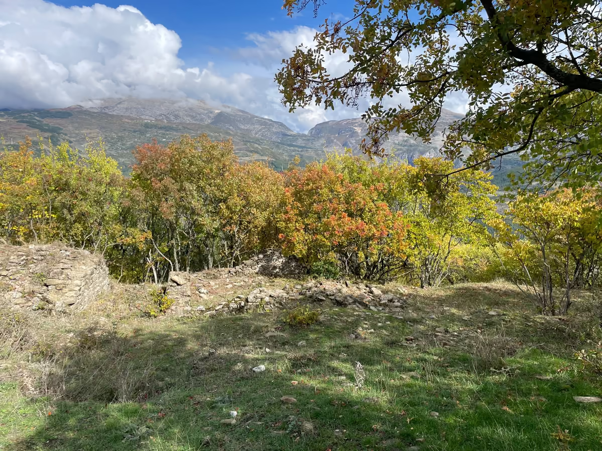
- Old castle walls at the highest point, about 720 m
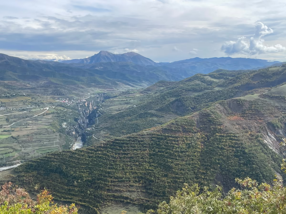
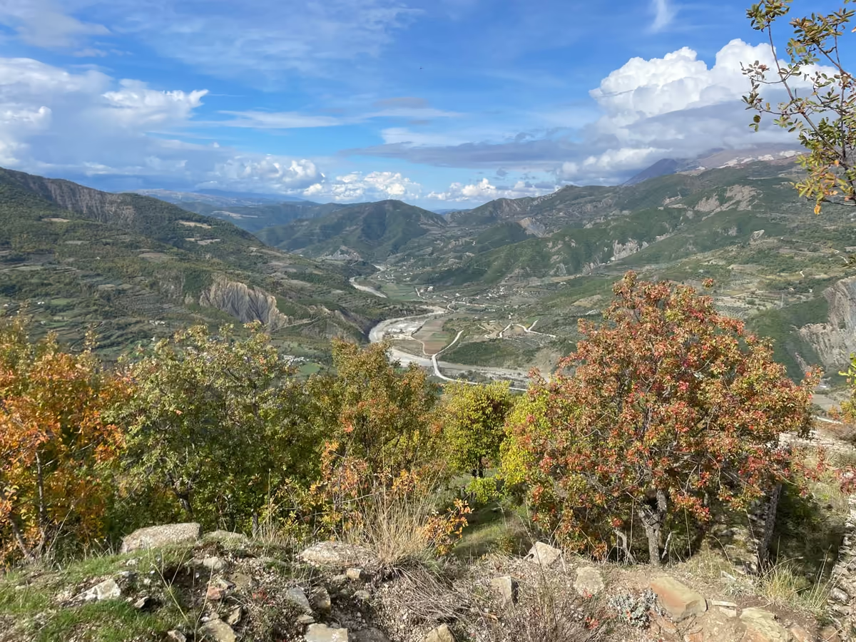
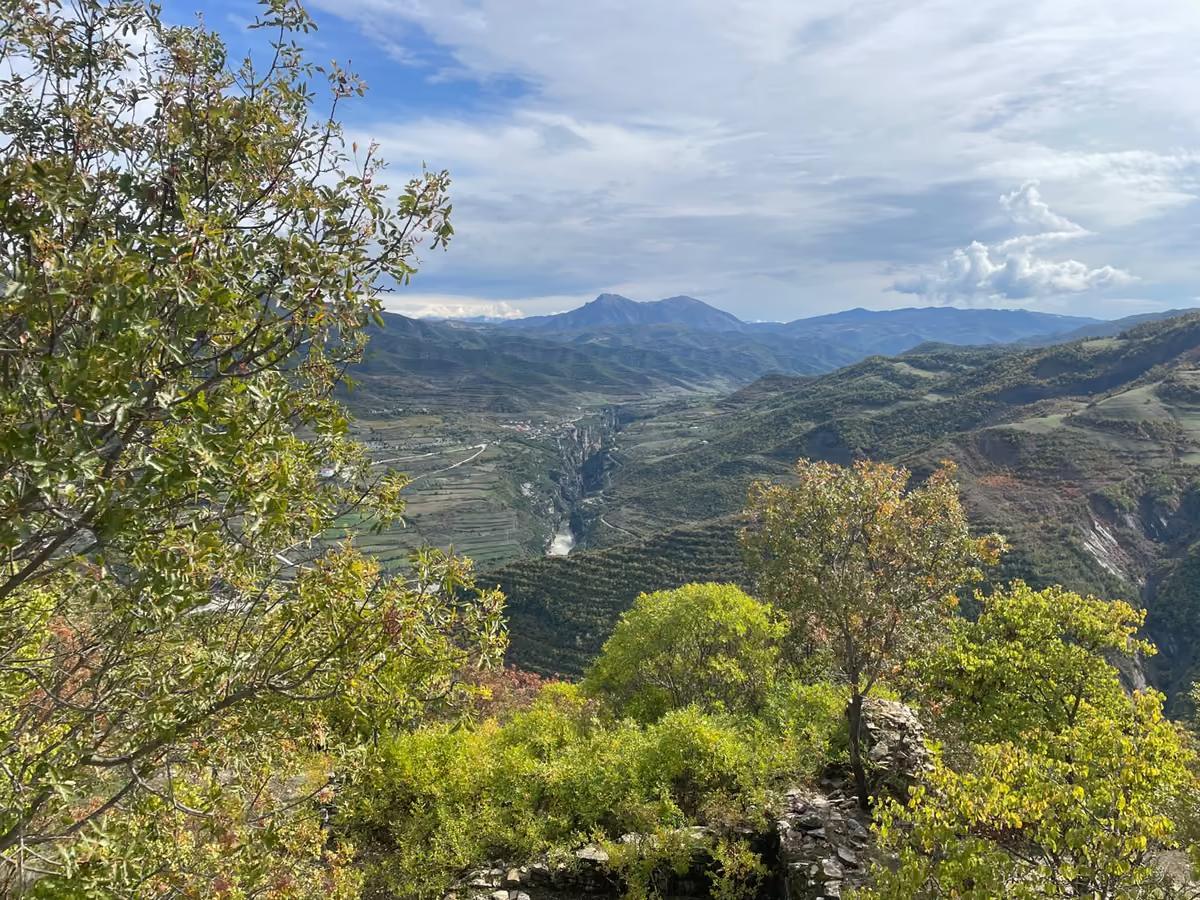
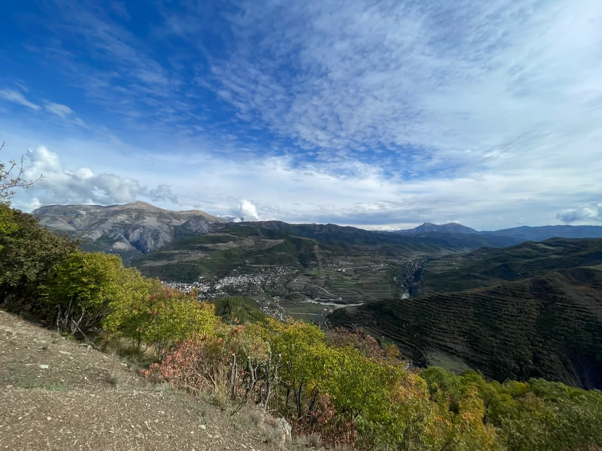
- Views over Osum Canyon and Gradec Canyon
- A finish at the Varisht river beach on the Osum, where local people swim
- Easy to moderate, at a steady pace with guide support
- Walking poles available if needed
About This Hike
The Lost Castle hike is a 7.6 km walk with about 430 m of total ascent. It starts at Guest House Marsi in Munushtir, at about 310 m. From there you climb through hills and mountain nature to the highest point, at about 720 m, where the old castle walls stand. After the top, you walk down to the Varisht river beach on the Osum, at about 270 m.
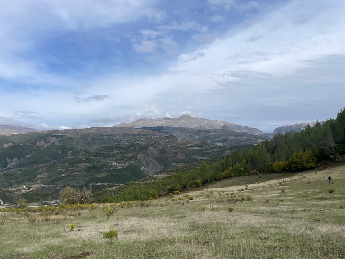
From the high ground the views reach over Osum Canyon and Gradec Canyon. Gradec Canyon is a separate canyon, next to Pirogoshi Cave, and you can read more about it on our Gradec Canyon page. The pace is steady and a guide is with you all the way, so normal fitness is enough.
You finish at the Varisht river beach, where local people swim, and a transfer takes you back to the Rafting Osum Canyon base. The hike runs all year and is best in spring and autumn. It starts at 10:30 in winter, spring and autumn and at 8:30 in summer, as a shared group departure, or privately on request. If you want time on the river as well, see our rafting and tubing tours, or read the Osumi Canyon guide. Other walks are on the hiking page.
The Castle: Skrapar Castle
The Lost Castle is our name for this tour. The site itself is Skrapar Castle (Kalaja e Skraparit, also called Kalaja e Çorovodës and, locally, Gjenivizi Castle).
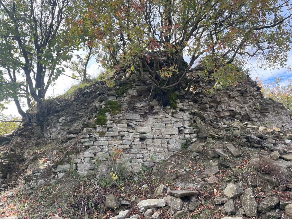
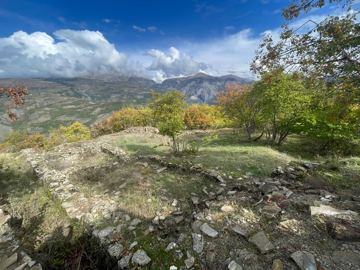
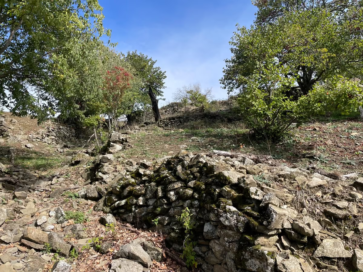
Skrapar Castle is a medieval fortress on a conical hill southwest of Çorovodë, on the left bank of the Osum River. From the top the position commands the valley, which explains why it was built here. Archaeological research published in the journal Iliria describes a fortified settlement of about one hectare, with enclosure walls, towers, a defended entrance and traces of houses inside, and finds such as pottery and storage vessels from several periods. Today you can walk among the remains of the old walls and enjoy views over Osum Canyon and Gradec Canyon.
Itinerary
Meet at the Rafting Osum Canyon base (Rruga Pasho Hysi, Çorovodë), 15 minutes before departure.
Transfer to Guest House Marsi in Munushtir, where the walk starts, at about 310 m.
Hike up, with photo stops, to the highest point at about 720 m and the old castle walls.
Walk down to the Varisht river beach on the Osum, at about 270 m.
Transfer back to the base.
Route Map and Elevation Profile
- 1. Start at Guest House Marsi, Munushtir, about 310 m
- 2. Highest point and the old castle walls, about 720 m
- 3. Finish at the Varisht river beach on the Osum, about 270 m
Included and Not Included
Included
- Guide
- Drinking water
- Fruit
- Transport
- Walking poles if needed
Not included
- Lunch
- Other food
- Personal expenses
Not Suitable For
- Children under 9
- People over 79
What to Bring
- Hiking shoes
- Sun hat
- Sun cream
- Water bottle, if you want one
Meeting Point
Rafting Osum Canyon base, Rruga Pasho Hysi, Çorovodë (Plus Code G63F+J5H). Please arrive 15 minutes before departure. Pickup is offered on request.
Know Before You Go
- Arrive 15 minutes early.
- Follow the guide at all times.
- The route can change with the weather.
- Photos taken are shared with you after the tour.
- Questions about conditions? Ask us on WhatsApp or by email.
More about our guides is on the About page.
Photos from the Hike
Frequently Asked Questions
What is the Lost Castle?
The Lost Castle is our name for the tour. The site is Skrapar Castle (Kalaja e Skraparit), a medieval fortress on a conical hill southwest of Çorovodë, on the left bank of the Osum River. Archaeological research describes a fortified settlement of about one hectare, with enclosure walls, towers, a defended entrance and traces of houses inside. On the hike you can walk among the remains of the old walls.
How long is the Lost Castle hike?
The tour takes about 3.5 hours including stops. The route is 7.6 km long with about 430 m of total ascent.
How hard is the hike?
It is easy to moderate. The pace is steady, a guide supports the group, and normal fitness is enough.
When does it run, and what does it cost?
The hike runs all year and is best in spring and autumn. It costs €45 per person. It starts at 10:30 in winter, spring and autumn and at 8:30 in summer, as a shared group departure, with private tours on request.
Who can join the hike?
The minimum age is 9 and the maximum age is 79.
What is included, and is lunch provided?
The price includes a guide, drinking water, fruit, transport and walking poles if needed. Lunch and other food are not included, and neither are personal expenses.
Where do we meet, and can you pick me up?
We meet at the Rafting Osum Canyon base, Rruga Pasho Hysi, Çorovodë (Plus Code G63F+J5H), 15 minutes before departure. Pickup is offered on request.
Book the Lost Castle Hike
The hike runs all year, best in spring and autumn. Reserve on our booking page or ask us on WhatsApp.
Call or message +355 68 317 7981 · Rafting · Tubing · Osumi Canyon guide · About us